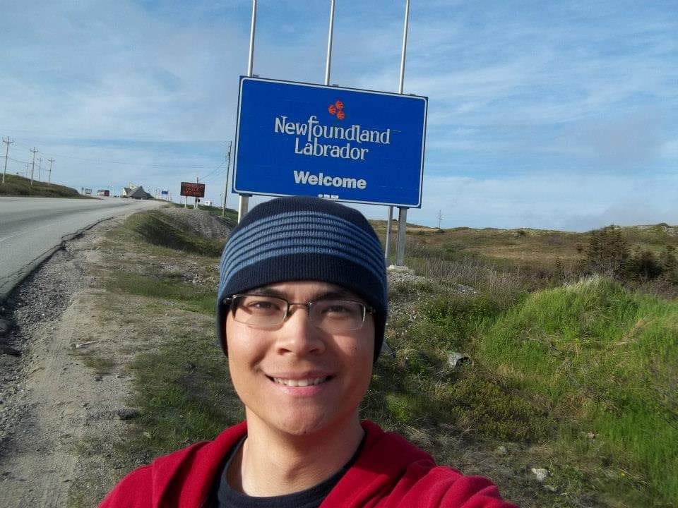
June-2014 I’ve always felt attracted towards traveling to far away points, and to areas where mass tourism hasn’t touched. If you look long enough at the world map, you will always discover something new. It is incredible the sheer amount of places that exist out there for us to explore and see. I first got the idea to visit Newfoundland while on deployment in the Navy. We were traversing above the coordinates of the Titanic shipwreck to pay homage. While on watch, I was analyzing the map as we were just off the continental shelf and that was the moment when I noticed north of us there was this massive island. “What is there to see in such a place?”, I thought. It appears to be larger than all of New England! I could not believe that was a part of Canada. It might as well be its own country. I decided then and there that when we get back from overseas I was going to take leave, get in my car, and make it happen.
Newfoundland and Labrador are the same province, with Newfoundland being the island and Labrador the mainland. Northeast of New England you have the Canadian provinces of Quebec, New Brunswick, Prince Edward Island, and Nova Scotia. In the week after we came home before my leave papers were approved, I began my research. I will have to drive starting from where I was stationed in Connecticut to the end of Nova Scotia, in a town named North Sydney and take a ferry. On the map, I see the main road goes to St. John’s and southwest from there another ferry back. There’s a few detours along the way I want to check out. I get three weeks leave so will have to drive most days to circle the distance approx. 2500 miles round trip. I write down the route plan in a way I can navigate without using GPS like the road atlas, in the way my Father had taught me as kid on our road trips. Name of the highways, intersections, when to look for gas, when to turn left or right, expected places to end up for the night, etc. I write down the conversions from miles to kilometers, Fahrenheit to Celsius, US Dollars to Canadian Dollars. In future travels I became more spontaneous, but for my first solo trip, my days were on an itinerary. My planned appeared flawless.
My leave was approved and I go back to the barracks to finish packing. I got myself a fresh tent, bag, and shoes(the ones that had fallen apart in Finland). I’m driving up there with my own car. Its a 2013 Chevy Sonic. A nice little car, great on mileage and rides smooth. When I was growing up during the road trips, we would listen to a lot of classic rock. I start my drive at sunrise and as I get on I-95 I blast some CCR, Neil Diamond, Bee Gees, etc. There’s so many artists from that era and for me, the genre just flows really well with the change of scenery, watching the miles go by.
I-95 is terrible with traffic especially around Boston. Once you go through Providence, and even up to Portland, there’s just too many cars. When you get past Bangor, then things finally become quiet. I get off the interstate in Bangor and onto Highway 9. The road is empty. It’s a really quiet area of Maine where you will only drive past a collection of homes. No real towns until the border. The forest is thick but you’ll see a few openings and some lakes occasionally. Close to Calais, Highway 9 merges with Highway 1 and then the border. At the roundabout, the road goes by US Customs, crosses the bridge, and arrives at the Canadian Customs with the iconic Maple Leaf Flag flowing in the wind. I was driving 7 hours at this point, but I’m freshly awake with adrenaline as I come up to the window. I am the only car on the road and at the border. As I hand my passport over, in the most classic accent ever I hear:
“Oohh how’s it goin’ eh?”
“Yes good.”
“Just a tourist? How long you visitin’?”
“Three weeks.”
“Ahh ok you have a good trip eh!”
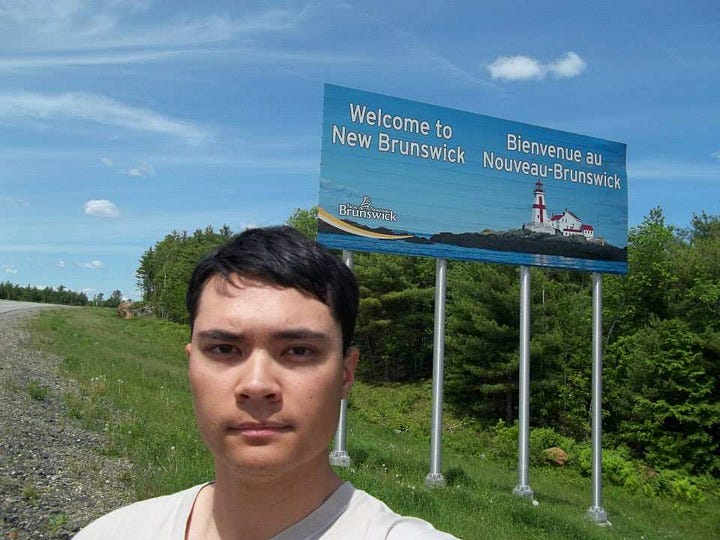
The Officer then hands my passport back and I was through. “That was it?” I thought. Took literally 15 seconds. I guess I’ll see how it goes when I come back to the US. The highway is now called New Brunswick Route 1. The road is nice and wide, clean and open. I see a sign clearly indicating that the speed limits are now in Kilometres per hour written in both English and French, and the numbers change from 55mph to 110. There is a sign Welcome to New/Bienvenue au Nouveau-Brunswick. I had made it to Canada.
I get out for a picture and stretch my legs. Across the St. Croix River, even the scenery seems to change a bit. As I begin to rack up kms the trees become more open. Not as constricting as Maines forest. Even some grassland areas through the towns. The road is still nearly empty. About an hour later I’m coming into Saint John and finally there’s life on the roads. I can see the Bay of Fundy as I drive into the city. Across the Harbor Bridge you get a great view of downtown. Saint John feels large but its not that big of a city. I get off the highway to stop at a Circle K for gas, and get some Canadian dollars. Very interesting how they look and feel, like plastic film with various color. The ATM gives me mostly 20 dollar bills with The Queen on it. Back on the road the highway merges with the Trans-Canada Highway 2 and continues to Moncton. Also a city that feels large but its not too big. There’s a really large roundabout in the center. I grab some coffee from a Tim Hortons and keep on going. A few more hours and I cross into Nova Scotia. I pass their Welcome Sign with its own flag. Now things feel really exciting. I stop at the Visitor Center and enjoy the moment. I’m at 12 hours of driving now so my body feels a bit stiff. I decide to spend the first night at the Super 8 in Amherst, the first town in NS.
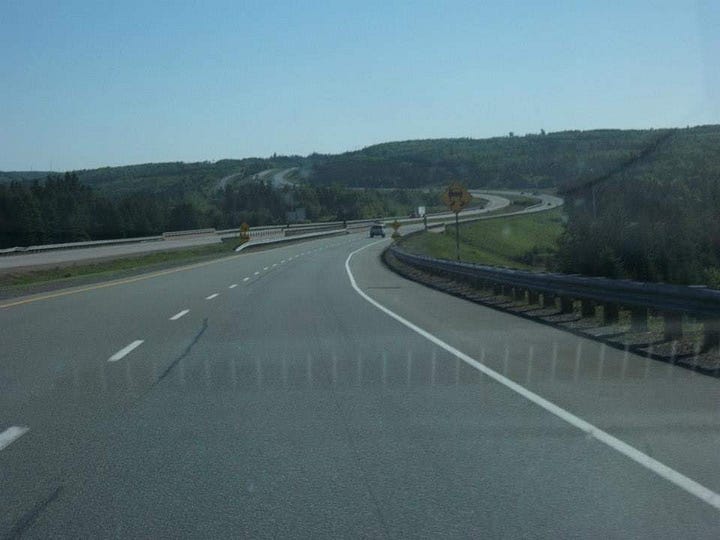
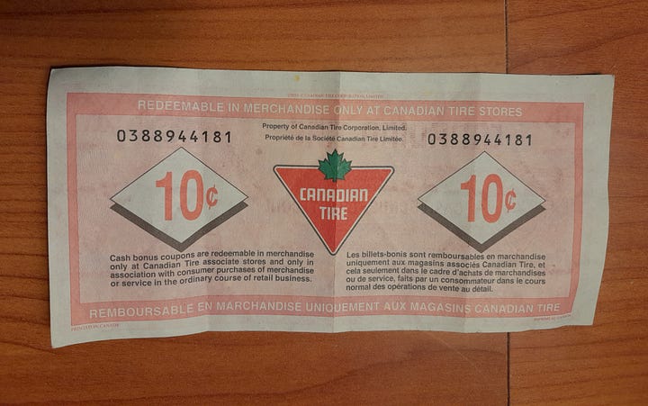
Now the highway is named 104. Not as long of a driving day today. Perhaps 6 hours. I’ll spend the night in North Sydney, and take the ferry to Newfoundland tomorrow. At Truro is the intersection to Halifax. I’ve heard great things about that city. Some of the guys I’ve served with told me they had port calls there. I will check it out on the way back. The scenery now through New Glasgow is open trees with various farmland. I stop for gas in Antigonish. Its a University town. There’s a nice Cathedral and quaint downtown. The place I get gas from is called Canadian Tire. After I pay I get what is called Canadian Tire Money. Basically a rewards program you can use for future purchases at Tire locations. Some of the bills have become valuable for collector’s.

One thing I noticed was other than occasional French and the province of Quebec, Canada felt pretty much the same to me as the US. Especially in regards to the car centric, giant parking lots and drive throughs. When I told the gas station clerk I was going all the way to St. John’s, he said “Those Newfy’s are a bit weird up there but you’ll see.” I’ve heard that line before. “Those Massholes have mental health problems.” “Those people in West Virginia are a bit off.” “What wrong with Californians?” We’re just people. Later I would come to find those I interacted with in Newfoundland to be kind and curious, but reserved. Just my opinion.
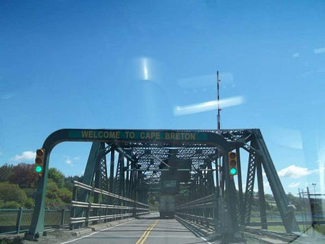
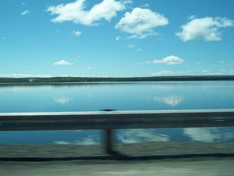
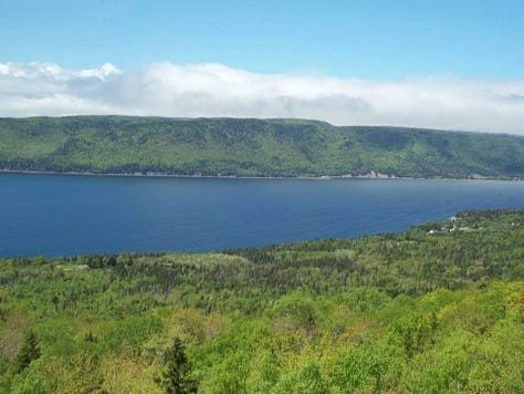
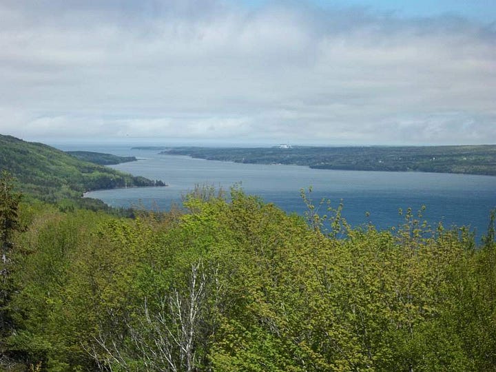
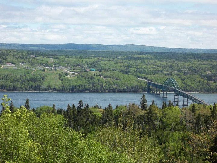
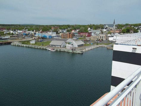
The trees become thick again with large pines. I come up to the northern part of Nova Scotia called Cape Breton Island. As I cross the causeway I can see the Gulf of St Lawrence in the distance to the left, and on the right the ocean is not far. There’s a bridge and a sign that both say Welcome to Cape Breton. New Highway named 105. I pass by the small town of Whycocomagh and there’s a lake that it is so calm it looks like a mirror. I start to gain some elevation and can see some great views of the surrounding areas. One spot is called Seal Island Lookout and you can see the bridge to Boularderie Island with North Sydney just beyond the hill. There is Sydney and North Sydney adjacent to each other across the bay. N. Sydney is the main ferry point to NL. I come into town and drive up a very steep road to Hotel North Sydney, on a hill above the port. It’s half full at the moment. I’m sure many people use it to pre-stage their departures. Not long after I check in, I hear the door unlock and an elderly lady walks into the room. Her facial expression is akin to a heart attack when she sees me. I tell her reception must have accidently booked the same room. It’s early evening now. I enjoy watching the Canadian TV stations, some in French and then get some sleep. Early tomorrow morning, we board the ferry and are off!
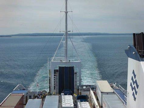
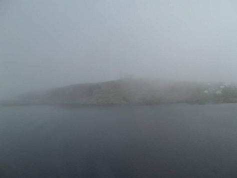
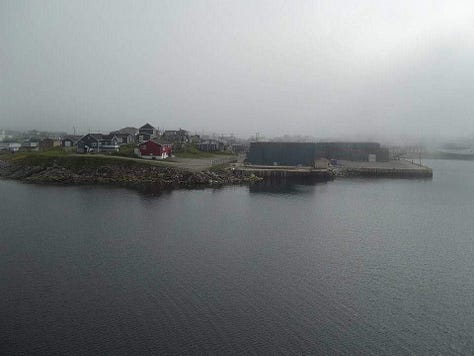
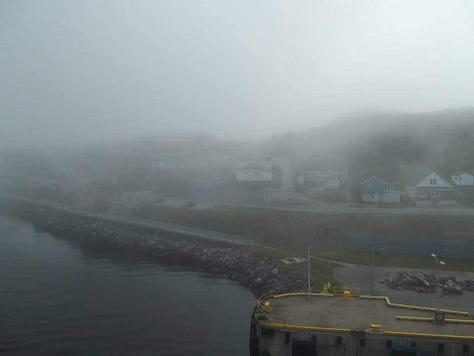
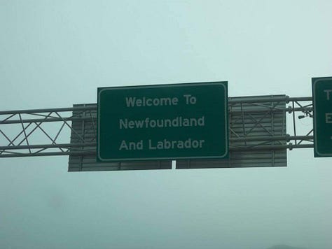
The ferry is nearly the size of a cruise ship. We line up to park our cars and file in very tightly. Once aboard there's a nice seating and lounge area, with a bar and food service. Upstairs plenty of space for open viewing. The journey to Channel-Port aux Basques could take 6-8 hours depending on sea state. On the way back from Argentia almost 18 hours. We sail out of the bay and into open ocean. Nova Scotia fades in the distance. Later, thick clouds and fog obscure our view. The temperature becomes much colder. I can feel we’re getting close. As the ship beings to enter the harbor and moor, I can see snippets of land through the fog. A really mysterious entrance. Green rocky coastline, small inlets and scattered homes. Wow this is it. We prepare to drive off and I officially land on the island. Incredible. I’m cheering in my car. I take a moment to check out Port-aux Basques and soak in the views. The town feels more dusty and gravel like. I’m sure its more much difficult to have clean roads up here(as I soon find out). There’s snow on some of these mountains...in June! Also I heard many places on the north side get icebergs floating in the harbor or along the coast. Once all the ferry traffic passes. I head off to discover a true unknown!



See you next time for Part-2!
-AbroadwithBrian


