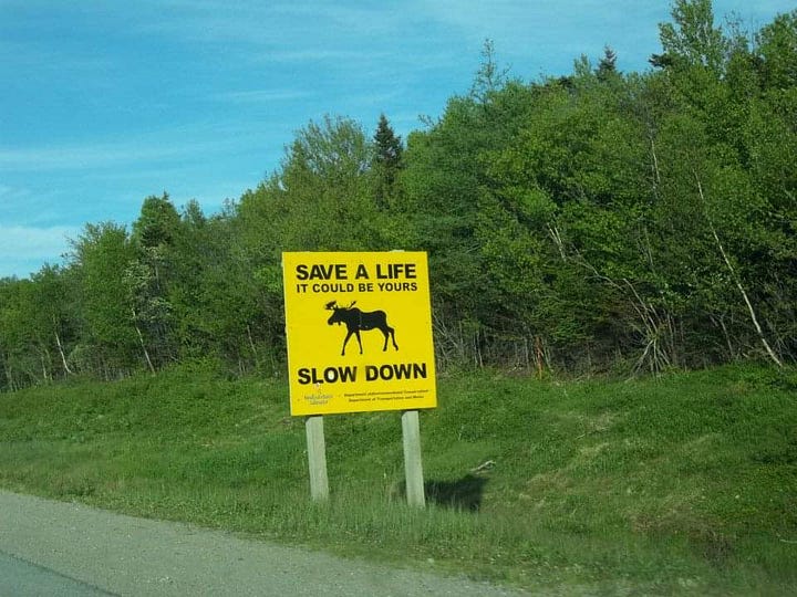
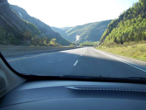
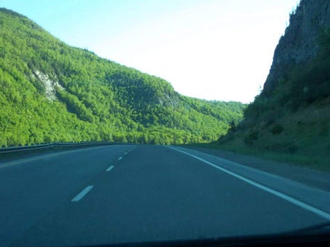
Riding out of Port-aux Basques the road goes through a wide valley. Short, but sharp mountains rise up around to form plateaus beyond. The forests carry a deep, dark green to them. I see the first of many Moose warning signs. I also see pothole warnings and sure enough there’s bloody craters on the road so bad I’m forced to slow down to 30km and drive onto the left shoulder! Seriously some of the potholes are so deep and wide my Chevy Sonic could have gotten stuck. The road is near empty and cell phone service sparse so just take it easy when you’re driving around up here. Not all cell providers work up here so you may have to buy a local sim. Also if you take your US car into Canada just ask your insurance provider if you are covered, otherwise I’d recommend you get a short term plan from another party.
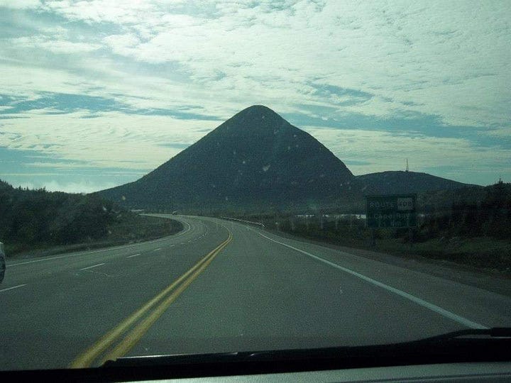
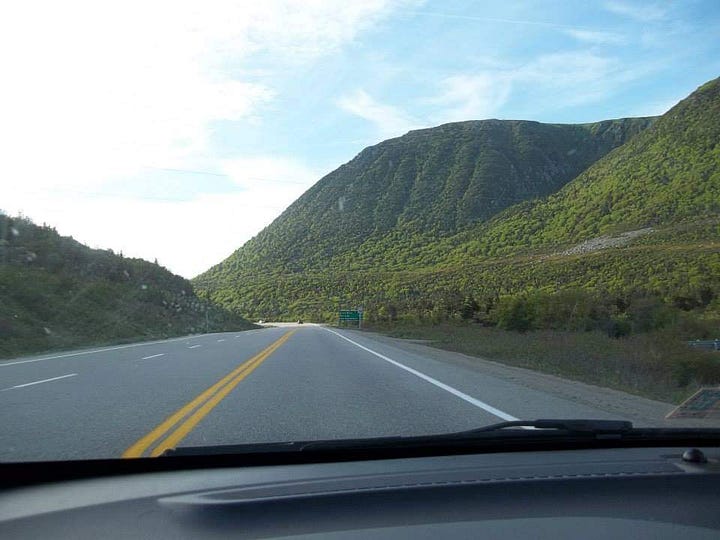
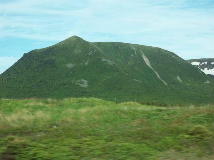
I make a left turn off the highway towards Stephenville. I am going to this area called Cape Saint George. It is almost its own island but a narrow strip connects it to the rest of the main island. The road follows the sea-cliffs and past occasional, idyllic, and cozy houses. Eventually there is only the road, me, and the cliffs. I park not far from the edge and hike along as sunset begins. It’s a wonderful view. Again I’m at a place with no other signs of people around. There is a special feeling one gets when you know and believe you are alone. In true solitude. The soul opens up in a way that civilization can never give it. My fellow nature lovers will understand. It becomes quite windy so I sleep in my car instead of my tent. Before I fall asleep I get a good look at the stars. A full array as you can imagine. Even though its June it gets fairly cold at night and before long my view becomes covered with fog on the windows. I fall asleep to soft sounds of the waves and gentle rocking of my car from gusts of wind.
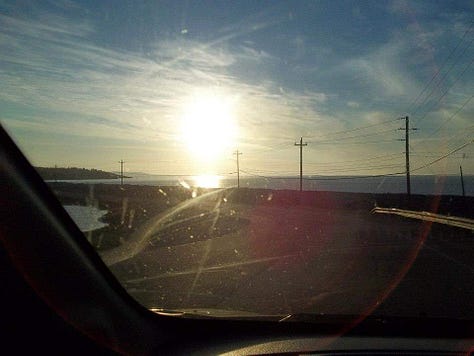
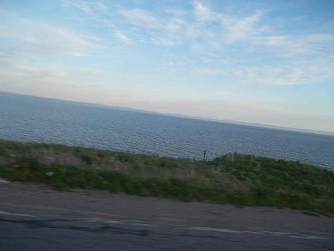
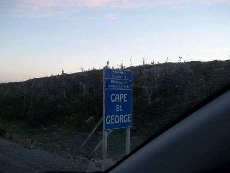
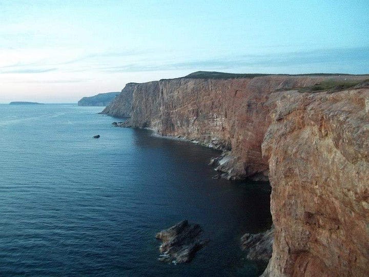
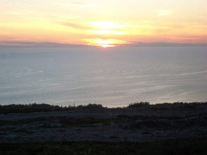
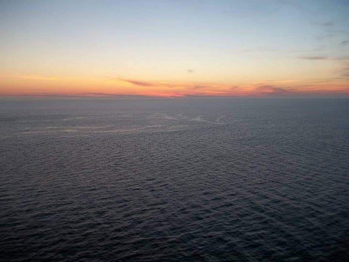
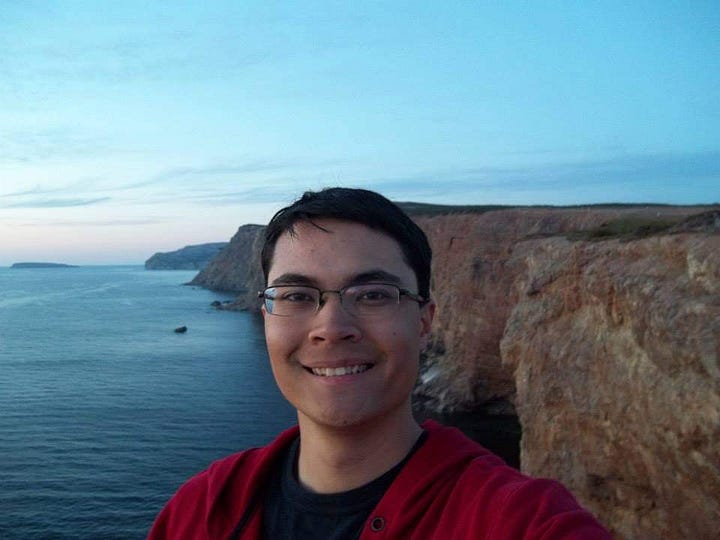
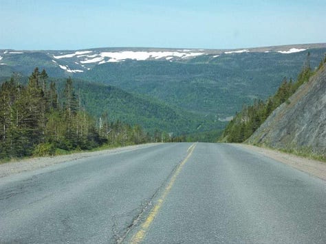
I take the loop drive around Cape St. George in the morning. The road follows close along high sea cliffs. The road is empty, and I’m alone at these cliffs. Many great opportunities for hiking and camping around here. What I think is most surreal about Newfoundland is that it feels far away from the US, and seemly far away from everything else. A world of its own. I make it back to the main road and continue past Corner Brook. It’s slightly lower in elevation than the highway so you get a great view of the town, bay, and tall hills beyond. The road occasionally is quite dusty so your car is going to be covered. Had to clean the windows off every gas stop. I make a left turn at Deer Lake and proceed to Gros Morne National Park. Huge on my bucket list. There are fjords that were craved from glaciers and would make you think you are in Norway. The mountains here are named the Long Range Mountains and by extension the northernmost section of the Appalachian.

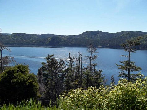

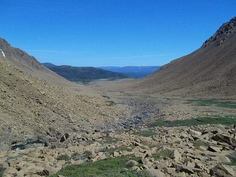
The first place I go to is called the Tablelands. Its a yellow-orange plateau of rock that came from the Earth’s mantle. A result from colliding continents millions of years ago. The significance of this area helped scientists confirm theories about plate tectonics! Its a plethora for geology enthusiasts. Not long after the welcome sign you turn left for the Tablelands, or keep going straight to reach the fjords. Well, they are more like lakes incased in fjord looking mountains, but I’ll get to that in a minute. You’ll drive along a bay and the village of Bonne Bay before coming to the Discovery Centre. Here they have everything else you’d want to learn about the park. I came to get a hiking permit as it is required to hike on the mountains above the fjords, however I didn’t know that I had to take a topographic map test in order to qualify for the permit. It’s remote on the plateaus, and only expensive means of rescue can reach you if something happens. I did not pass the test, so could not hike up. Now could you in theory just sneak up there and hike without a permit? Probably, just don’t get injured or caught by the rangers I guess.
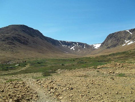
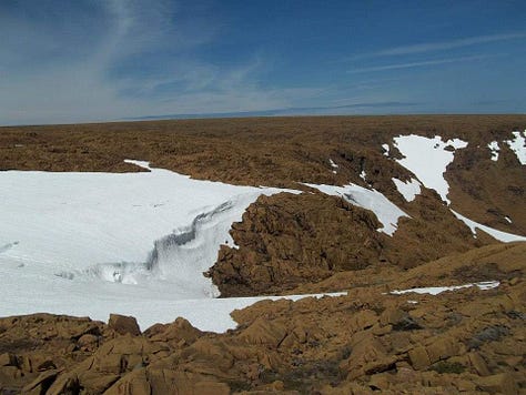
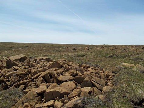
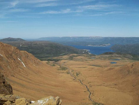
A few km’s from there is parking for the Tablelands trail. Only a few km up and back down. The forest stops abruptly and you instantly feel like you are in a desert. So strange. Orange, barren rock and open space. It was a sunny day today so I got really lucky with some incredible views of the fjords in the distance and numerous plateaus to the horizon. There is snow at the top, so even though its June if you camp up here bring everything you think you will need to survive. The trail also disappears in some places so watch your ankles around the rocks. There’s only a few cars and I get the summit to myself.

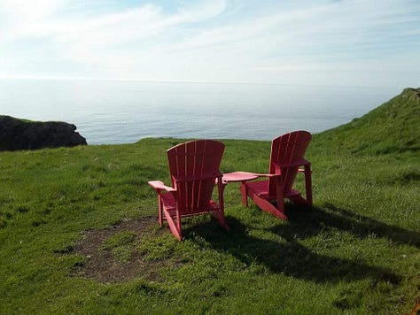
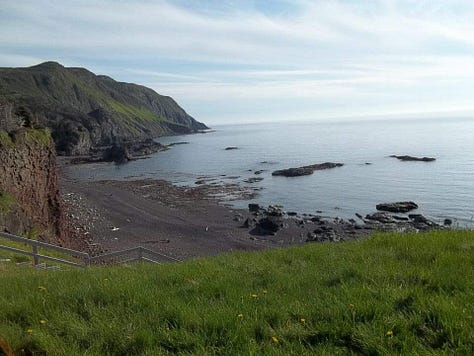
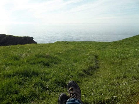
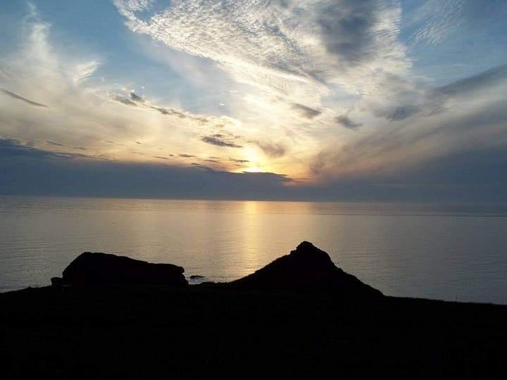
When I get back down I drive a few more kms and there is another parking spot for the Green Gardens Trail. From rocky desert to a lush and green coastline. Not too difficult, but will take several hours to hike to the coast. I bring my camping gear and when I make it to the end my legs are feeling a bit shaky. The coast here is a mix of sharp rock and short cliffs overlooking the Gulf of St. Lawrence. True to its name, its quite green. Soft grass and wildflowers grow along the coast, followed shortly inland by the pine forest. The spot I choose to camp sits above a beach near to a steep staircase access. There are two red chairs sitting by the cliffs edge. Most of Canada’s National Parks have these iconic red chairs placed somewhere in the park. It’s a nice touch and like an Easter Egg hunt to find them. They are officially called Adirondack Chairs. The idea to place these chairs throughout Canada’s most beautiful places started in Gros Morne! I sit in the chair during sunset and I can hear the blow hole of a possible Humpback or Minke whale. I catch a quick glimpse of a breach far in the distance. Always a special moment to see a whale. There is one other tent some distance from me. A couple is coming back from their walk and invite me to dinner with them and a bonfire. We talk about life, politics, my time in the military, their time as registered nurses, and other far away corners worth seeing in Canada. Its really dark out here so bring some good lights so you don’t accidently walk off the cliff. At sunrise I pack everything up, take one more long look at the Gulf, and head back to the car.

Nearly three days of heavy rain is in the forecast. I want to take the boat trip in Western Brook Pond, and will have to wait it out. I will have to hustle east across the island later, in order to make it back in time before my leave is up. The rain is too heavy for my tent, so I sleep in my car at a campground close to Norris Point. I spend a day in the village of Rocky Harbor and try my first Moose Burger. A bit chewy but alright. The views are hidden by the weather so today is just an errand day. A little shopping and laundry.
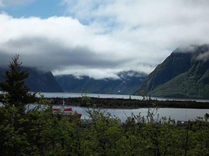
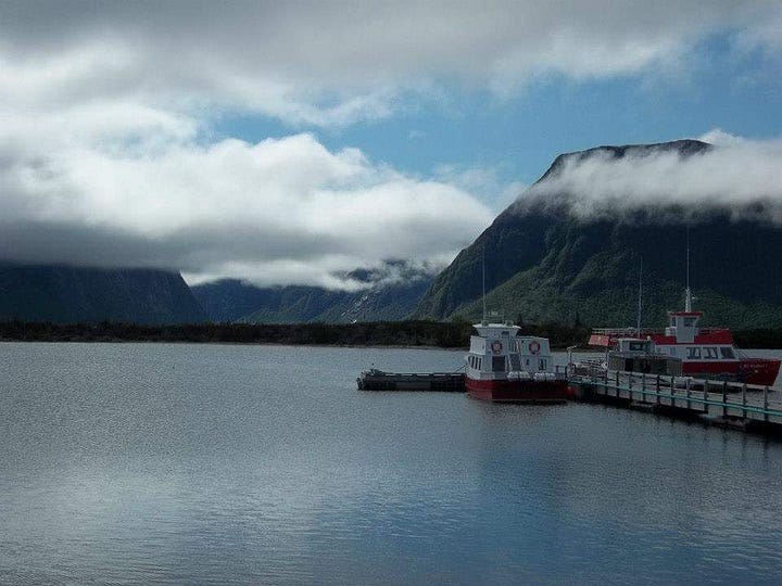
A sunny day has arrived and it's now or never. I have to hike about an hour from the parking lot to the boat in Western Brook. It's by far the most impressive fjord in the area. The trail is mostly wooden planks over swampland and the tour itself almost 2 hours. You will go to the end and back. Way back in the day after the glaciers melted and finished carving out the rock here, the land rebounded and the fjord cut off from the sea. The resulting lake became fresh and pristine. There are numerous waterfalls cascading down from atop the steep 2000ft high rock walls. They are amongst the highest is eastern North America. It is a jaw dropper of a view.
Stick around for Part-3 where I show you more of Gros Morne, icebergs on the east coast, St. John’s, and circle back to the US. Thank you for reading!
-AbroadwithBrian


“I came to get a hiking permit as it is required to hike on the mountains above the fjords, however I didn’t know that I had to take a topographic map test in order to qualify for the permit.”
Have you been studying up since then?